I was looking for a way to help me develop the scenProc tool and explore the possibilities of autogen further. In the end I decided to start a little scenery project where I could play around with all aspects of autogen.
I decided to pick an area in the US, because there is a lot of data available from the USGS. That makes it easier to do a photo scenery. An island is always a nice location for a test area, because you have a natural border of the area you are working on, I decided to use the Nantucket island in Massachusetts. The state of Massachusetts also has a nice website of their GIS service where you can find a lot of data.
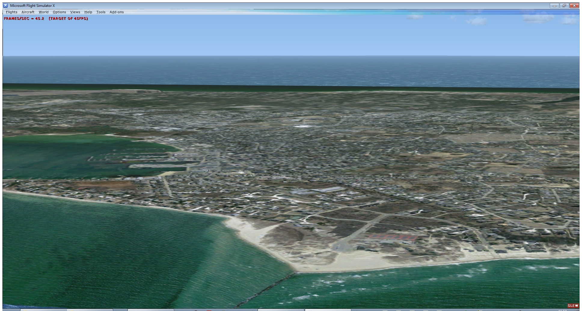
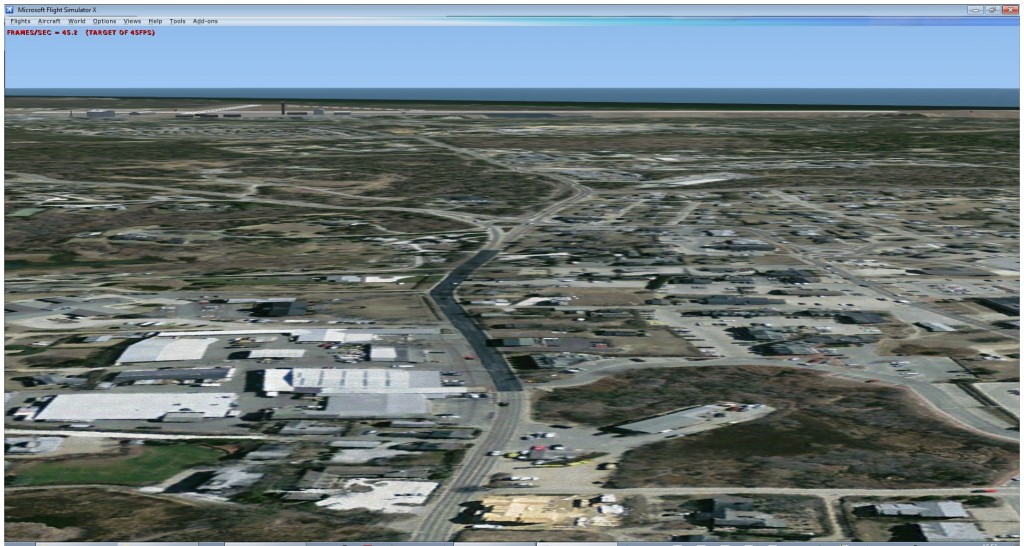
So I got 30 cm imagery of the island and processed that into a photo scenery. I will make another post about the techniques I used for this soon. Below are some pictures of the photo scenery in FSX.
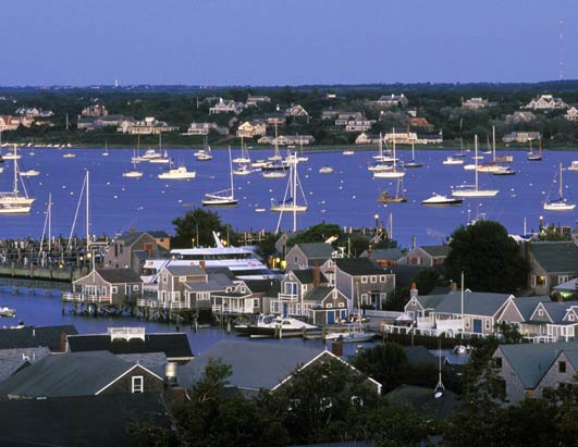
So now I can start the challenge to populate the island with autogen. I’ll start with the vegetation and the buildings. And after that I’ll see what other autogen elements I can still add. Hopefully I can use the autogen to represent the atmosphere of the real island, as shown on the picture below.
By the way, I don’t know at this moment if this scenery will be an addon that I will publish later on or not. For me it is really a test area to help me develop the tools further. And making it ready for a release does not have priority for me. And the island also has an airport, so maybe I can test some new ground polygon wizard ideas there as well later on.
What a coincidence! I’m working on Nantucket as well – have been since last year.